Panoramic hike from Mülenen to the Niesen
A long and challenging hiking trail leads from Mülenen via the middle station of Schwandegg and up to the summit of the Niesen. There’s around 1,700 metres of elevation gain to overcome. The trail leads along the path of the Niesenbahn and snakes up to the middle station of Schwandegg predominantly through the forest. From the middle station of Schwandegg there are two possible options. The direct, somewhat steeper path will take you up to the Niesen in around 2 hours. Or you can take a longer but gentler trail via the Oberniesen alp and Cheesbödi, which will take around 3 hours.
The hiking trail is perfect as a training route for mountain runners.
If you prefer to take things a little easier, you can take the cable car for the first section and save yourself 1,000 metres of elevation gain.
Hiking route: Mülenen–Schwandegg–Niesen Kulm
Distance: 7.7 km
Hiking time: 4 hours
Height difference: 1650 m
Level of difficulty: difficult
Circular route from Schwandegg to the summit
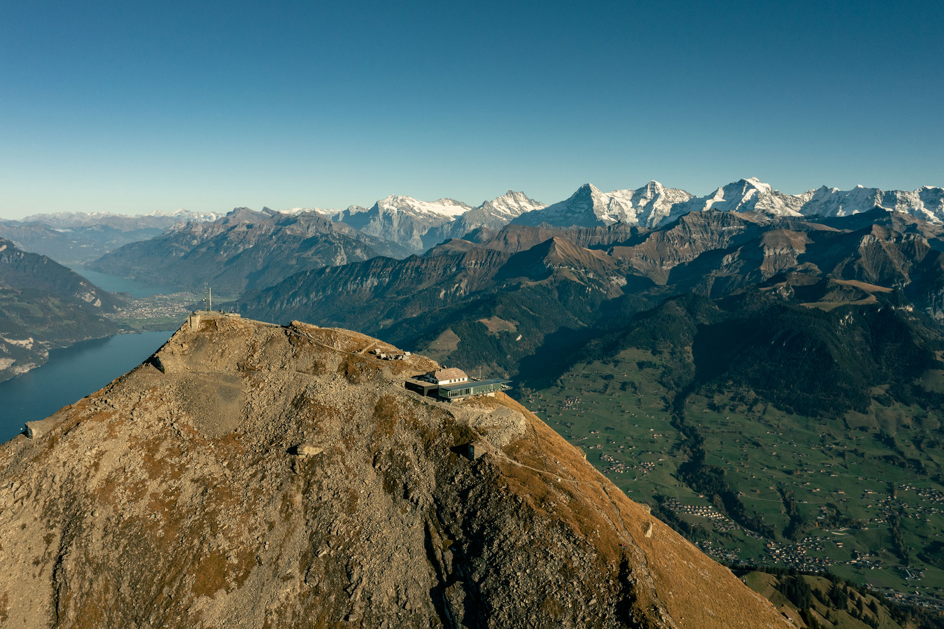
Taking the Niesenbahn to the middle station will shorten the climb through the forest. From Schwandegg the view opens up: on the steep and stony climb to Niesen Kulm you can repeatedly enjoy magnificent views of Lake Thun and Lake Brienz. The descent from the summit via Oberniesen back to Schwandegg is gentler but no less spectacular.
Hiking route: Schwandegg–Niesen Kulm
Distance: 8 km
Hiking time: 3 hours 30 minutes
Height difference: 770 m
Level of difficulty: medium
Niesen–Springenboden panoramic trail
Travel up to Niesen Kulm by cable car and hike from there into the neighbouring Diemtigtal valley. At the mountain station, the path branches off in the direction of Springenboden and leads down to “Obere und Untere Stalde”, via Chummli to Geeri. The path divides here. Right, it goes over Bruchgeere via Zünegg to Hasli and further to the Oey train station. Or you can carry straight on at Geeri to the Hoschüpfe viewing platform. Here you can enjoy one last view of Lake Thun before reaching Springenboden via Unterer Drunen. From here, the hiking trail leads down to the valley road in Horboden, where you can either walk to Oey on the valley hiking trail or return by post bus from the Horboden, Wirtschaft stop.
Hiking route: Niesen Kulm-Oey-Diemtigen
Distance: 12.3 km
Hiking time: 4 hours 30 minutes
Height difference: + 79 m / -1749 m
Level of difficulty: medium
Hiking map Niesen


